Core Development Team
The architects of our geospatial intelligence platform and Our visionary leaders driving innovation and strategy
Full-stack GIS developer skilled in Python, Django, and Flask. Builds intelligent systems for forest monitoring, carbon mapping, and early warning. His projects span land cover prediction apps, Flask-based deforestation tools, and ML models for environmental change.
Current Focus
Developing next-gen flood prediction models for East Africa
A backend-focused GIS engineer with strong capabilities in Django and spatial databases. Led the development of a national water resource mapping system and is now expanding his skills into frontend development with Vue.js.
Current Focus
Optimizing our real-time data processing pipelines
Specialized Applications Team
Experts building domain-specific solutions and The brilliant minds turning data into actionable insights

Joseph Musyimi
GIS & Mobile Systems Engineer

Elizabeth Muthoni
GIS & Remote Sensing Specialist
Research-focused GIS professional with expertise in soil yield modeling and sedimentation analysis. Contributes to early warning systems for agriculture using satellite data and spatial intelligence.
Daniel Kamau
Geospatial Data Scientist
Focused on environmental data analytics and satellite image interpretation. Has conducted flood mapping projects using Sentinel imagery on Google Earth Engine for disaster risk management.
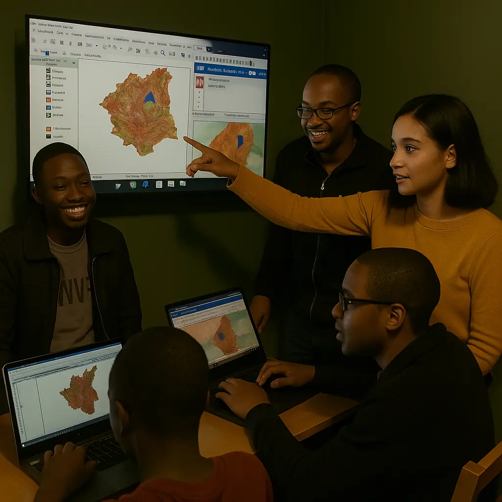
Our Team Culture
At SpatioAI, we foster a collaborative environment where innovation meets purpose. Our team thrives on:
Innovation Fridays
Weekly sessions to explore new technologies and creative solutions.
Field Research
Regular visits to project sites to understand real-world challenges.
Community Focus
Designing solutions with and for the communities we serve.
Want to Join Our Mission?
We're always looking for passionate individuals to help build climate resilience across Africa.